East Ridge, Beinn a' Chaorainn
- Distance
- 11.5 km
- Elevation
- 950 m
- Duration
- 6h 29m
- Location
- Highlands
- Date
- 13 February 2026
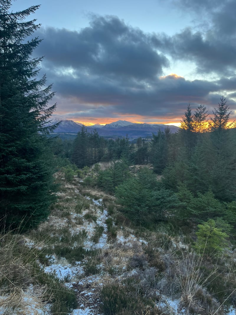
Driving from Glencoe to Aviemore in mid-February, I was after something that wouldn’t eat the whole day - a route in good winter nick with some Grade I/II interest. Beinn a’ Chaorainn (1049 m) sits right off the A86 between Spean Bridge and Laggan, making it a natural pick for a stop en route. The east ridge is one of the better straightforward winter ridges in the area, and the snow conditions were looking excellent.
Route Map
Route Description
Approach
Starting from the car park off the A86 near Roughburn, the route follows the track south through the forestry plantation before breaking out onto the open hillside. The going is easy at first, climbing gently alongside the burn as the trees thin out.


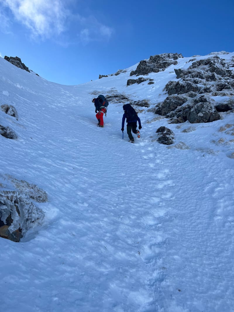
East Ridge
Above the tree line, the east ridge comes into view - a broad shoulder that narrows as it gains height. In good snow cover the ridge gives enjoyable Grade I terrain, with short steeper steps that feel more involved when icy. The line is obvious and the exposure is modest, but crampons and an axe earn their keep on the firmer snow higher up. Towards the top of the ridge the angle eases and the ground opens out onto the summit plateau.


Summit and Tops
Beinn a’ Chaorainn has three tops spread along a roughly north–south ridge. The main summit (1049 m) sits in the middle. In clear conditions the views west to the Grey Corries and Ben Nevis are superb. The connecting ridges between the tops are broad and straightforward in winter, though navigation in poor visibility needs care - the plateau is featureless.


Descent
I headed south off of the summit plateau, dropping down the broad south-east slopes towards the valley. The descent is steep at first but straightforward, losing height steadily before the ground eases and curves east back to the forestry road to rejoin the approach track near the start. This makes for a satisfying circular route and avoids the steeper sections of the east ridge on tired legs.
Notes
- The A86 layby/car park at Roughburn is the standard starting point and was easy to find.
- Beinn a’ Chaorainn is well positioned for a day between Glencoe and Aviemore - I was back on the road by late afternoon with plenty of time to reach Aviemore for the evening.
- The east ridge is a good introduction to Scottish winter ridges - the grade stays at I in straightforward conditions, with sections touching II when the snow is harder or visibility drops.
- Full winter kit needed: crampons, ice axe, and winter navigation gear. The summit plateau is exposed and featureless in cloud.
- The route is available on OS Maps.